Question asked by Neal:
How does a sextant work? How does it tell you where you are? Can you use them on land? asked by Charles
Answer:

Answered by Dava Sobel, Author
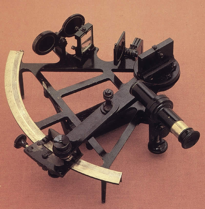
Originally developed for ocean navigation, a sextant is an instrument for gauging the distance between two celestial objects, such as the sun and the moon, or the moon and a star, and also the height of a celestial object above the earth’s horizon.
Before the era of satellite navigation, sailors used these instruments to find their latitude by measuring the altitude of the noonday sun. They calculated their longitude by the “lunar distance” method: First they determined the angular distance between the moon and one of several bright guide stars in the moon’s path. After making their sextant observations, they consulted printed tables they had brought along on their voyage — tables showing the time the same observations could be made over a place of known longitude. The sailors compared their own local time at sea to the time in the tables, and then deduced their position from the time difference. (One hour of time equals fifteen degrees of longitude.)
You could use a sextant on land, yes, but you’d have fewer reasons to.